
Introduction to Remote Sensing
Introduction to Remote Sensing
Learn the fundamentals of remote sensing and related cloud computing applications.
Get More Info
What you can learn.
About This Course
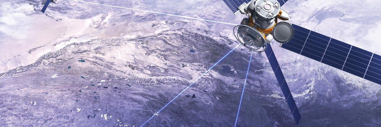
The main objective of this course is to introduce the fundamentals of remote sensing and related applications in the era of cloud computing. Our goal is to transition from GUI and/or code based remote sensing software that runs on PCs, MACs and/or local servers to code based remote sensing APIs that runs in the cloud to better facilitate geospatial data exploration and idea sharing. Currently, one of the most prominent cloud based remote sensing and spatial analysis platforms is Google Earth Engine (GEE). We will rely heavily on this platform (Javascript API) to accomplish all of our mapping and geospatial analysis needs.
The course will have eleven units: 0) Why Google Earth Engine, 1) Google Earth Engine 101, 2) Client vs. Server, 3) Core Remote Sensing Concepts, 4) Image Collection, 5) Feature Collection, 6) Image Processing, 7) Feature Processing, 8) Image Classification, 9) Accuracy Assessment, and 10) App Publishing. Unit 0 first provides a background of remote sensing before cloud computing then introduces why Google Earth Engine is superior to other remote sensing platforms. Unit 1 introduces the fundamentals of Google Earth Engine. Unit 2 introduces the two core concepts related to cloud computing. Unit 3 emphasizes several core remote sensing concepts such as reflectance. Unit 4 introduces Image Collections available in Google Earth Engine. Unit 5 introduces Feature Collection available in Google Earth Engine. Unit 6 introduces image processing techniques such as band mathematics. Unit 7 introduces feature processing such as zonal statistics. Unit 8 introduces basic concepts of linear models to facilitate the understanding of more complicated machine learning models. Unit 9 introduces the concepts of classification vs. regression in remote sensing. Unit 10 introduces geospatial analysis app publication to facilitate data, analysis and idea sharing.
The ultimate goal of this class is for you to be comfortable using the GEE platform to share your remote sensing work and/or research with your peers and to help promote geospatial awareness for the general public.
Fall 2026 Schedule
Required course in the Geospatial Imagery Analysis specialization.
This is an online course, wherein all course content is delivered online and all interaction among the instructor and the participants will take place online; additional requirements include microphone, headphones/speakers, and webcam.
Technical requirements: Students are responsible for providing a personal computer with a minimum of 4GB of RAM that is capable of running Windows 10. Apple hardware running macOS can be used provided that Windows 10 is installed either using Boot Camp or virtualization (VirtualBox, Parallels, etc.) with at least 4GB of RAM allocated to Windows. Hardware specifications in excess of these minimum requirements will offer better performance and a better student experience. Students will be provided with a student license for ArcGIS as long as they are enrolled in program courses for which ArcGIS is required.
Enrollment limited to 50 students; early enrollment recommended. Visitors not permitted. Internet access required. Materials required.